NEXAH · Designing Human Orientation in Complex Systems.

One world.Many ways of seeing.Orientation begins between them.

NEXAH develops Orientation as a discipline for navigating complex systems by making bounded representations, their purposes, evidence, limits and relations comparable—without collapsing their differences.

A concrete example

One world. Different maps.

Every representation preserves some information, loses other information, introduces representation-specific artifacts, and leaves some questions outside its declared scope.

Mercator

IInformation preserved
  • Local angles
  • Small-scale shapes
LInformation lost
  • True area
  • True distance at large scale
AArtifacts introduced
  • Areas inflate toward the poles
  • Greenland appears oversized
UOutside declared scope
  • Not suitable for area comparison

Equal Earth

IInformation preserved
  • Relative area
  • Overall continental shapes
LInformation lost
  • True angles
  • True distances
AArtifacts introduced
  • Shapes stretch slightly east–west near the edges
UOutside declared scope
  • Direction
  • Local measurements

Azimuthal Equidistant

IInformation preserved
  • Distance from the chosen center
  • Direction from the center
LInformation lost
  • True area away from the center
  • True shape away from the center
AArtifacts introduced
  • Area distortion increases away from the center
UOutside declared scope
  • No single center serves every whole-world task

No map is the whole world. Orientation begins by making these differences explicit instead of collapsing them.

Every representation is built for a purpose. Comparing what it preserves, loses, introduces and leaves outside its declared scope makes that purpose—and its limits—visible.

Comparison is not identity. Orientation supports Human judgment; it does not replace it.

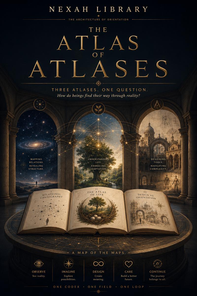
Cover of The Atlas of Atlases

The visual study

The Atlas of Atlases

The Atlas of Atlases is a core NEXAH research project and its principal visual study of orientation between maps.

Across six visual fields, it places different cartographic and knowledge languages in relation and asks how representations select, preserve and connect structures. It invites comparison; recurring forms are not treated as physically or mathematically identical.

Explore the Atlas of Atlases

Evidence that the work exists

An idea made inspectable.

NEXAH is not only an idea. A substantial, inspectable body of work already exists.

Orientation Language 1.0

Published semantics

Published semantics for bounded representations, relations and transitions.

Read the specification

Understand how NEXAH is organized · Ecosystem Map

Your question can be the beginning

Bring a question.Follow a map.Find another way of seeing.

NEXAH does not promise a final answer. It works to make the field, the available paths and the boundaries of knowledge more visible.

Experimental accessTry one Human-facing session in NEXAHEDRON